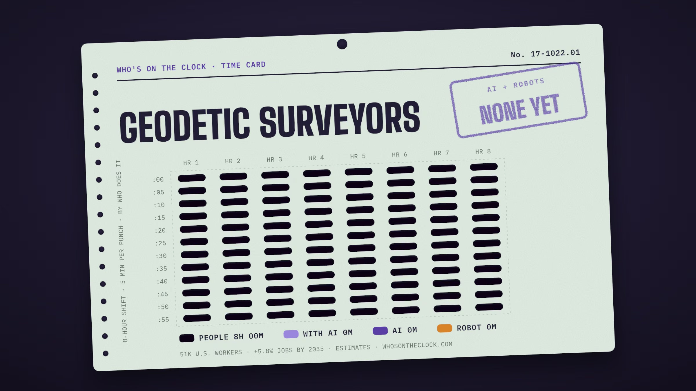
Measure large areas of the Earth's surface using satellite observations, global navigation satellite systems (GNSS), light detection and ranging (LIDAR), or related sources.
Time card
Untick tasks you don't do, or set your own times.
| Mine | Task, by time spent | Human | With AI | AI | Robot |
|---|---|---|---|---|---|
| Conduct surveys to determine exact positions, measurement of points, elevations, lines, areas, volumes, contours, or other features of land surfaces.1h 9m a shift · No AI or robot evidence found | |||||
| Analyze control or survey data to ensure adherence to project specifications or land survey standards.52m a shift · No AI or robot evidence found | |||||
| Calculate the exact horizontal and vertical position of points on the Earth's surface.46m a shift · No AI or robot evidence found | |||||
| Compute horizontal and vertical coordinates of control networks, using direct leveling or other geodetic survey techniques, such as triangulation, trilateration, and traversing, to establish features of the Earth's surface.46m a shift · No AI or robot evidence found | |||||
| Plan or direct the work of geodetic surveying staff, providing technical consultation as needed.40m a shift · No AI or robot evidence found | |||||
| Maintain databases of geodetic and related information, including coordinate, descriptive, or quality assurance data.35m a shift · No AI or robot evidence found | |||||
| Prepare progress or technical reports.35m a shift · No AI or robot evidence found | |||||
| Verify the mathematical correctness of newly collected survey data.29m a shift · No AI or robot evidence found | |||||
| Compute, retrace, or adjust existing surveys of features such as highway alignments, property boundaries, utilities, control and other surveys to match the ground elevation-dependent grids, geodetic grids, or property boundaries and to ensure accuracy and continuity of data used in engineering, surveying, or construction projects.29m a shift · No AI or robot evidence found | |||||
| Assess the quality of control data to determine the need for additional survey data for engineering, construction, or other projects.23m a shift · No AI or robot evidence found | |||||
| Read current literature, talk with colleagues, continue education, or participate in professional organizations or conferences to keep abreast of developments in technology, equipment, or systems.17m a shift · No AI or robot evidence found | |||||
| Determine orientation of tracts of land, including position, boundaries, size, and shape, using theodolites, electronic distance-measuring equipment, satellite-based positioning equipment, land information systems, or other geodetic survey equipment.17m a shift · No AI or robot evidence found | |||||
| Distribute compiled geodetic data to government agencies or the general public.12m a shift · No AI or robot evidence found | |||||
| Provide training and interpretation in the use of methods or procedures for observing and checking controls for geodetic and plane coordinates.12m a shift · No AI or robot evidence found | |||||
| Review existing standards, controls, or equipment used, recommending changes or upgrades as needed.12m a shift · No AI or robot evidence found | |||||
| Request additional survey data when field collection errors occur or engineering surveying specifications are not maintained.6m a shift · No AI or robot evidence found |